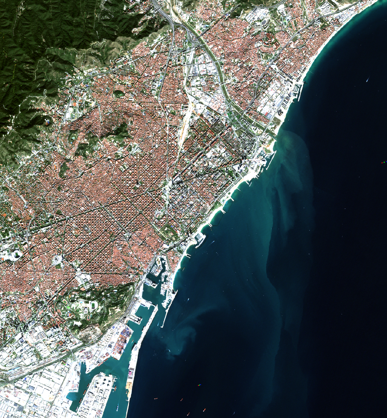
Land Use Classifier
I am currently working on a land‑use classification pipeline using Sentinel‑2 satellite imagery. The images are enhanced through the SEN2SR super‑resolution model, and additional artificial bands are generated to increase classification accuracy. The system integrates both a Convolutional Neural Network (CNN) and a Random Forest classifier to evaluate performance and robustness. If you would like more details, please feel free to reach out.
View Project
Vessel Emissions Platform
A web-based platform for estimating greenhouse gas emissions from maritime vessels. It integrates vessel specifications and operational data to provide fast, accurate, and transparent emissions calculations through an intuitive interface.
View Project